Who Holds the Instruments
I read the article over morning coffee, the way most of my mornings begin now — scanning the inbox for things that make me sit up straighter. Melinda Laituri, a professor emeritus of ecosystem science at Colorado State, had written a piece for The Conversation about women in cartography. The history was solid: Gladys West developing the mathematical models behind GPS, Evelyn Pruitt coining the term “remote sensing” in the 1950s, the Military Mapping Maidens producing tens of thousands of topographic maps during World War II while the men were at war. Laituri traces the line from a fourth-century Chinese noblewoman embroidering a map on silk through the advent of geographic information systems, arguing that women have always been part of the mapping landscape but their contributions have been systematically overlooked.
It is a good article. But by the time I finished it, I was not thinking about cartographic history. I was thinking about campfires.
In 1989, a young field ecologist named Charles Convis drove up to the James San Jacinto Mountains Reserve, which I directed for the University of California, to talk about conservation, computers, and society. Charles had been backpacking across Africa and Asia, providing computer help to local conservation groups, and Jack Dangermond at Esri had just offered him a position to formalize that work. By 1991, Charles had created the Esri Conservation Program — the first dedicated conservation track at the Esri User Conference, opened by the Cahuilla Birdsinger Dancers — and he needed a place for the people who showed up to sleep. Most of them were nonprofit conservationists who could not afford Palm Springs hotel rooms. I offered the James Reserve.
That first year, maybe five people came. They attended the Esri conference by day and gathered around the James campfire by night. The reserve sits at 5,500 feet in the San Jacinto Mountains, and the nights were cold enough that people huddled close. Something happened at those campfires that does not happen in conference halls. People talked about what they actually needed — not what was technically impressive, but what would help them protect the places they cared about. The Ancient Forest activists needed maps they could take to Congress. The tribal nations had been mapping since time immemorial — think of the Zuni Museum and Jim Enote’s work — but with different tools and perspectives, and the challenge was how to be included in the landscape-scale GIS perspective without sharing sensitive cultural information. The marine biologists needed to connect satellite imagery to what they saw underwater. And every year, more of them came.
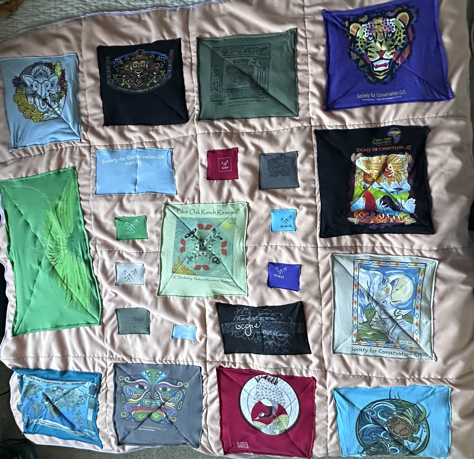
By 1994, Charles and Shaw Thacher organized the first formal Conservation GIS Conference at the James Reserve, and the group chose the name Conservation GIS Alliance. By 1996, Sandra Coveny, Kai Snyder, Cheryl Crupi, Roberta Pickert, and Charles organized the meeting where attendees decided to formalize. By 1997, the group became the Society for Conservation GIS — incorporated as a 501(c)(3) with Tim Bechtold writing the bylaws, Bob Arenz providing the first donation, and Jack Dangermond endowing it with $100,000 to make it, as Charles put it, “real and credible.”
I need to talk about Sandra, because she is the reason this essay exists.
Sandra Coveny was a first-year graduate student in 1991 when she published an article in Wild Earth magazine called “Technology Isn’t Entirely Evil: Geographic Information Systems in the Service of Wildlands.” Her audience was activists and self-described Luddites. She had been on the front lines of the spotted owl controversy in the Pacific Northwest, using mylar overlays on USGS maps to draw in owl habitat and monitor timber sales by hand, and she wanted the conservation community to understand that GIS was not the enemy but a tool of extraordinary power — if they would learn to use it. Tim Bechtold, then director of the Ecology Center in Missoula, read the article and called her on the telephone — a landline, she later noted — and told her there was a guy named Charles Convis who was giving out passes to the Esri conference. Being a poor graduate student, she could not afford a hotel room, so she drove up to the James Reserve and camped with the rest of us under the stars.
She never really left. Sandra became co-president of SCGIS, led the organization through strategic planning and re-visioning, helped secure the endowments that sustained the scholarship programs. In the years since, her work has moved from conservation GIS into the deeper territory where it always pointed — working with tribal women in the Pacific Northwest on climate adaptation and environmental justice, arguing in a 2020 Rewilding Earth interview that “indigenous justice IS environmental justice” and that the practice of the wild is about how you exist in any place you find yourself. She is in the 1997 group photograph at the James Reserve, in the founding board minutes, in the organizational DNA.
And last fall, she moved into my house in Oregon City. Thirty-four years after she first unrolled a sleeping bag at the James Reserve, Sandra is my housemate. We share meals, share our families, checking in. The SCGIS history does not come up every morning, but it is there in the furniture of the friendship — the way any long shared enterprise becomes part of how two people understand each other without having to explain.
I texted the article to Sandra that morning. Her response was immediate: “To me it reads as colonizer mindset: if I just noticed it, it must be new. ‘I have discovered that women map!’” She compared it to Columbus — arriving at something that has been here all along and claiming discovery. When an article in 2026 announces that women are “now speaking up” about maps, it ignores decades of women who were already speaking, already building, already transforming the field.
Sandra would know. She and Will Allen served as the first co-presidents of SCGIS — neither had time to do it alone, so they split the job. Gillian Bowser followed. Cheryl Crupi was vice president. Roberta Pickert was treasurer. Bette Loiselle of the Missouri Botanical Garden co-organized the first international scholarship program with Charles — a program that started with no funding, just donated conference passes and begging letters to airlines for frequent flyer miles. Karen Beardsley, whose GIS work on the African Elephant Database directly led to CITES placing the African elephant on the endangered species list, was there from the earliest days. Lucy Chege of Kenya was among the first international scholars.
These women were not waiting to be included. They were building the infrastructure.
The scholarship pipeline eventually brought conservation GIS practitioners from dozens of countries to California for training. Many were women from places where access to technology was not a given — from Kenya, from India, from Brazil, from Russia. Members who participated in the training and conference often reported that their involvement had changed their lives. I do not think that is hyperbole. When you hand someone a tool that lets them make visible what they already know — the migration corridors, the sacred groves, the places where the water table is dropping — you change the terms of every argument they will ever have about land use.
Which brings me to what Laituri gets exactly right, in her final paragraphs. She argues that contemporary cartography reveals a persistent gender gap in datasets: maps that lack information on women’s health, daily needs, reproductive services, childcare centers. In disaster situations, where women are disproportionately affected, this absence of geographic data becomes a matter of life and safety.
This is the politics of attention. Every map is a claim about what matters enough to measure. Every sensor network is an argument about where to point the instruments. I have spent my career building observational infrastructure — wireless sensor networks, embedded monitoring systems, what I now call the Macroscope — and the hardest question has never been technical. It has always been: what do you choose to observe? That choice is never neutral. It reflects who is in the room when the decisions get made, who holds the instruments, who gets to say this matters, measure this.
The women around the campfire at the James Reserve understood this instinctively. They had come from the front lines — the spotted owl forests, the African elephant ranges, the coral reefs — and they knew that the maps being made by others did not show what they needed to show. They did not wait for the maps to improve. They learned to make their own.
I think about this when I work on the Macroscope’s four domains — EARTH, LIFE, HOME, SELF — and try to decide what the sensors should watch. The framework itself is an answer to the politics of attention: it says that the personal and the planetary are connected, that what happens in your body and what happens in the watershed are part of the same system. But the framework does not fill itself in. Someone has to decide which streams get monitored, which species get counted, which vital signs get tracked. And if the people making those decisions are not representative of the people who will live with the consequences, the maps will always have gaps.
Sandra and I do not discuss this over meals, not in so many words. But she is a reminder, every morning, that the work of making things visible is never finished — and that the people who did the work do not always get to be visible themselves. She published “Technology Isn’t Entirely Evil” thirty-five years ago, aimed at people who did not trust computers. She is still here, still paying attention, still asking what the map leaves out.
The campfire is a kitchen table now. The sleeping bags are spare bedrooms. But the question has not changed: who decides what gets observed, and who gets left out of the story — even when they were the ones holding the instruments all along?
References
- - Coveny, Sandra (2020). “Intersectionality and Re-wilding Earth.” Interview, *Rewilding Earth*. https://rewilding.org/intersectionality-and-re-wilding-earth/ ↗
- - Coveny, Sandra (1992). “Technology Isn’t Entirely Evil: Geographic Information Systems in the Service of Wildlands.” *Wild Earth*, Special Issue, p. 81.
- - Convis, Charles (2019). “ESRI Conservation Geography Program: environmental activism and multicultural social change.” *Esri Community / Conservation GIS*. https://web.archive.org/web/20221128180934/http://www.conservationgis.org/scgis/SCGISHistorySummary.html ↗
- - Laituri, Melinda (2026). “Women have been mapping the world for centuries — and now they’re speaking up for the people left out of those maps.” *The Conversation*. https://theconversation.com/women-have-been-mapping-the-world-for-centuries-and-now-theyre-speaking-up-for-the-people-left-out-of-those-maps-272757 ↗
- - Coveny, Sandra (2019). “SCGIS 1997 Founding Board Member: Sandra Coveny.” *Esri Community / Conservation GIS*. https://community.esri.com/t5/conservation-gis/scgis-1997-founding-board-member-sandra-coveny/ta-p/914139 ↗